
Harsh rains can at times cause floods. That is why the Vlaamse Milieumaatschappij (VMM) has developed a model that identifies areas susceptible to flooding. When more in-detail validation using aerial photos became a necessity, VMM decided to use drones. The project partner had to guarantee an extremely fast intervention as well as the seamless processing of the images. The perfect opportunity for Argus Vision to showcase their photogrammetry know-how and expertise.
Most probably, everyone is familiar with the phenomenon of a deluge, when in just a short space of time 80 to even 90 liter of rain per sqm falls from the sky. The capacity of our drains and small streams cannot handle this kind of downpours, which means some areas become temporary flooded or even are confronted with mudflows. In dry, hot summers, the situation becomes even more precarious since the dry top layer of the earth can absorb even less water. Result: the drainage system becomes extremely overloaded, possibly causing flooding. “VMM has kept data for a long time now to optimise available flood maps, such as the flood hazard map”, explains Jonas Van de Winkel, co-owner of Argus Vision. “This digital archive of floods throughout time, with the additional watercourses models, has always served as the main decision-making tool for all kinds of decisions, i.e. handing out building permits, creating extra flood basins… These data are also used as input for a digital calculation tool to predict floods occurring, to help councils and emergency services to take timely action.”
Drones: the perfect solution
Floods have been mapped in collaboration with watercourse management companies, local authorities, emergency services… using images provided by external parties. Despite the enormous amount of information that could be captured this way, the need to cover entire areas became more pressing. “The intention was to collect data of areas where no-one would go when a flood had occurred”, says Seppe Koop, co-owner of Argus Vision. “VMM decided to embrace new technology and in 2017 launched a public tender for a project to capture flood plains using drones. Exactly what we excel in! Apparently our submission was convincing, since we were granted the one-year assignment to collaborate in updating the flood hazard map.”
Fast, efficient and reliable
Initially, VMM asked Argus Vision to be present at 4 sites at the same time, within 2 hours after a flood had occurred. “This meant at all times we had to have 4 teams on stand-by, which is economically unviable”, clarifies Jonas Van de Winkel. “Hence we came up with an alternative: we put a maximum of 4 teams on stand-by, based on the KMI weather codes: one with code yellow, two in case of code orange and four in case of code red. They will be on site within two hours, anywhere in Flanders.”
Not your everyday assignment
In order to comply with VMM’s requirements, Argus Vision had to apply for an SPACC number. “This allows us to communicate directly with air traffic control and ask permission to fly in sensitive air space”, divulges Serge Koop. “We are also allowed to fly until one hour after dusk. No unnecessary luxury when you know heavy rains mostly manifest themselves late afternoon. Hence the need to be on site as soon as possible.” Jonas Van de Winkel goes on: “Obviously we also had to develop all required internal procedures and train extra people. Today, we can deploy 9 operators, all capable to move quickly and almost automatically execute the mapping.”
What does the procedure look like?
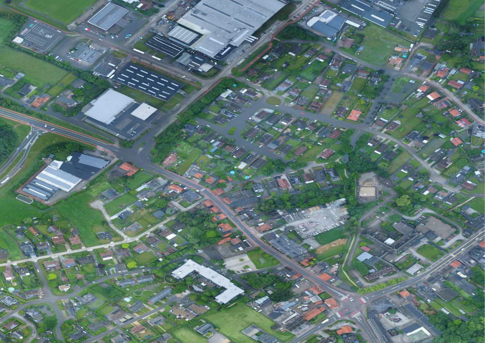
In every case there is a real chance of a flood, VMM marks the location on a shared Google Maps map. That way, the Argus Vision stand-by teams know exactly where to go when they receive a call. “Upon arrival, they immediately get to work: they have the drone flying over the area in a grid-like pattern”, says Jonas Van de Winkel. “The images are imported live and processed on-site into an RGB map using Agisoft Metashape software, which is then sent to VMM. VMM sends the maps on to the emergency services and affected municipalities.”
Real added value
In 2018, Argus Vision completed about 20 missions, mapping 60 areas (approximately 5,000 ha in total). “In 10 instances, the flood itself was still visible to the eye”, states Seppe Koop. “In all other cases, you could see traces of the water, such as mud or washed out fields. Such images are also of interest to VMM, since they are an indication of how the water found its way to lower areas.” Jonas Van de Winkel: “Thanks to this mapping with drones VMM had an objective view on the flooded areas also when less accessible or in case experts don’t pay that much attention to a specific area. The images allow VMM to refine their models, by optimizing the visualisation of zones susceptible to flooding.”
Extended partnership
Photogrammetry and drones prove to be a winning combination for VMM. No wonder that when they issued a new public tender in 2019, again, Argus Vision was selected as best candidate compared to other submissions. “To offer an even better service, we invested in new drones this year”, says Jonas Van de Winkel. “Even when there is 10 mm of rain and winds up to 70 km/hr, those drones still deliver at a speed of 300 ha/hour. So we can map rather vast areas; which of course is needed, since flood plains often span kilometres-wide areas. We also implemented a live stream, so we are able to provide live images of crisis situations, helping VMM to correctly assess the situation.” Serge Koop concludes: “With this project we again proved the vast opportunities of photogrammetry in combination with drones. Even though this assignment might seem out of our comfort zone, to us it’s extremely interesting, especially because of what it contributes to society.”