Argus Vision helps Croes to purchase a quarry
Photogrammetry combined with drones is the ideal way to obtain a detailed image of desolate places in hardly no time at all. However, not every firm is as well-equipped for such task. Chances are they lack the expertise to process the information. Croes ran into this issue when they intended to apply this technology during the buying process of a quarry. Luckily, the excavation company found its way to Argus Vision via surveyor Divatec. In just a few days, Argus Vision turned the existing scan into a usable tool.
The desolate appearance of a used-up quarry often does not do justice to its surroundings. More and more, people stand up to convert this kind of sites into a nature or housing zone. Croes definitely recognizes the potential of such concept: it is the perfect way to ecologically recycle excavated soil. It’s this idea that prompted the excavation company to buy last year a small limestone quarry in Ouffet. “In order to calculate the profitability of this investment, Croes wanted to know exactly how much soil they could move into the quarry”, says Jonas Van de Winkel, co-owner of Argus Vision. “Given the terrain was hardy accessible because of steep climbs and dense vegetation, a scan using photogrammetry and drones turned out to be the perfect solution.”
For experts only
The firm who first was given this task, turned out not to be able to process the photos. Croes addressed surveyor Divatec, who in turn referred Croes to Argus Vision. “Converting such images into a point cloud and then distil usable information from them, is work for experts”, states surveyor Dieter Vandepoel. “That is the reason we have been handing such projects to Argus Vision for years now, since they have the required expertise and software to translate photogrammetry into usable tools. Moreover, Argus Vision does so in a very punctual and fast way, which in this instance was very important. Croes had just one week to sign the purchasing contract.”

Mission accomplished successfully
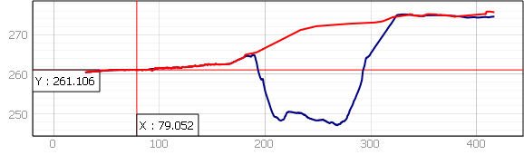
“Argus Vision indeed is your perfect partner for this kind of assignments”, continues co-owner Seppe Koop. “Our ‘Virtual Surveyor’ software makes it perfectly possible to simulate the amount of backfill based on an orthophoto and the digital terrain model. However, the images provided did show a significant hiatus, since there was no height information for the eastern side of the terrain, which was pretty overgrown. Only images of the foliage had been provided.
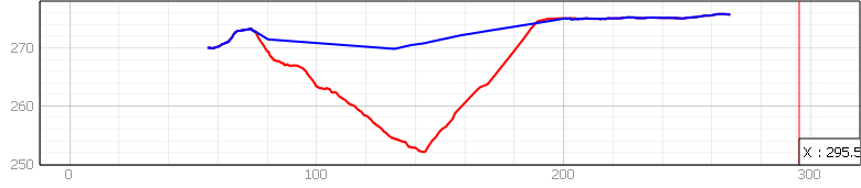
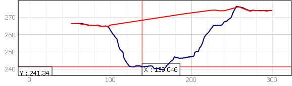
Using that as a basis for further calculations would totally distort the outcome. That’s why we first filtered the vegetation, then the buildings and machines out of the point cloud. Based on the available info, we then simulated how the lateral flanks would logically run underneath the vegetation. This gave us a ‘digital elevation model’ with just the marks of the actual ground surface, as an accurate starting point to calculate the amount of backfill Croes could move into the quarry.” Dieter Vandepoel goes on: “To avoid any surprises Divatec also did GNSS measurements at the edge of the quarry. That way, we were certain of the level at which needed to be connected. The calculations by Argus Vision proved though to be perfect and the volume large enough for the purchase to go ahead.”
Evidence for backfill licence
The story continued in January 2019. Before the council of Ouffet handed out the backfill licence, Croes had to provide evidence of how the quarry would be filled. “The existing point cloud was the perfect basis to answer this question”, explains Jonas Van de Winkel.
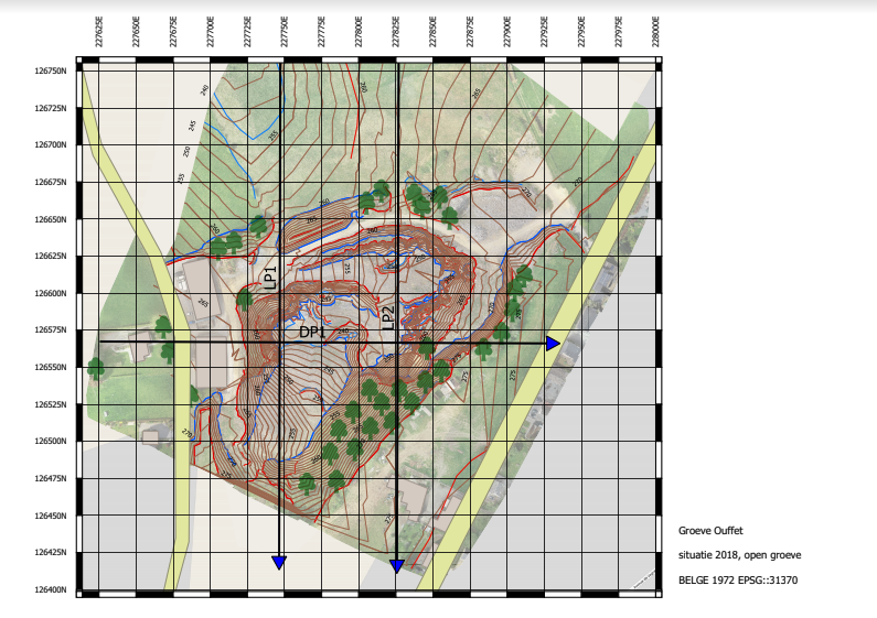
“That’s why the excavation company again called upon our expertise. Together we decided to build simulations of two types of backfill options: one that is equal to the historic evolution of the landscape and another where the terrain is flattened to a maximum level as to in the end create building ground. These models were then used to design plans with elevation lines and slopes contours and intersections. Two tools typically used by surveyors and easy for the council to study.” Dieter Vandepoel: “This demonstrates the unique strength of Argus Vision: they valorise photogrammetry all the way to user level. When they process the images, they always start from the final application. The result is an investment that truly pays off, since the client receives proper tools that they can start using right away.”